What Are the Technical Advantages of Air-Ground Fusion Over Single-Source Capture?
Who This Guide Is For: Technical decision-makers comparing single-source vs. fusion-based 3D capture for urban or infrastructure projects.
1. Complete and High-Fidelity 3D Models
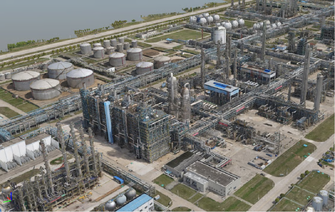
Full-Scene Aerial Coverage
- Efficient coverage of large and complex areas
- Consistent global geometry and elevation accuracy
- Provides a unified spatial reference for ground-level data integration
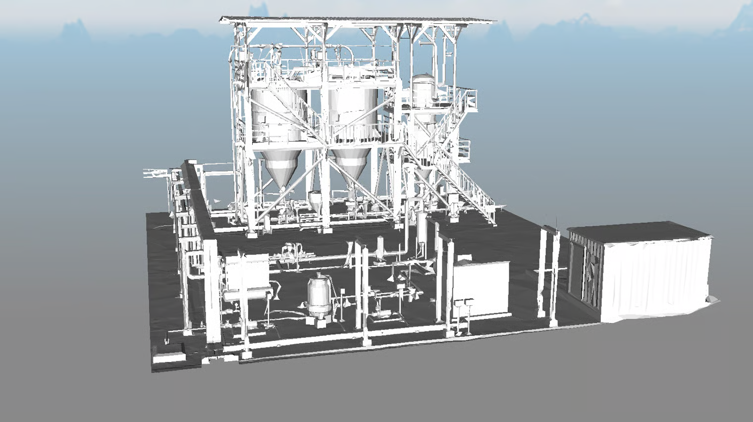
High-Density, Accurate SLAM Capture
- Excels at low-angle, close-range capture of complex facades, occluded areas, and indoor-outdoor connected spaces
- Enables fast near-field capture without requiring close-range UAV orbit flights
- Accelerates delivery of complete, high-detail 3D models
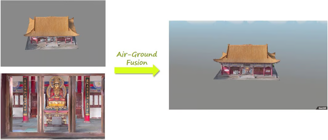
Multi-Perspective Reconstruction for Full Geometry
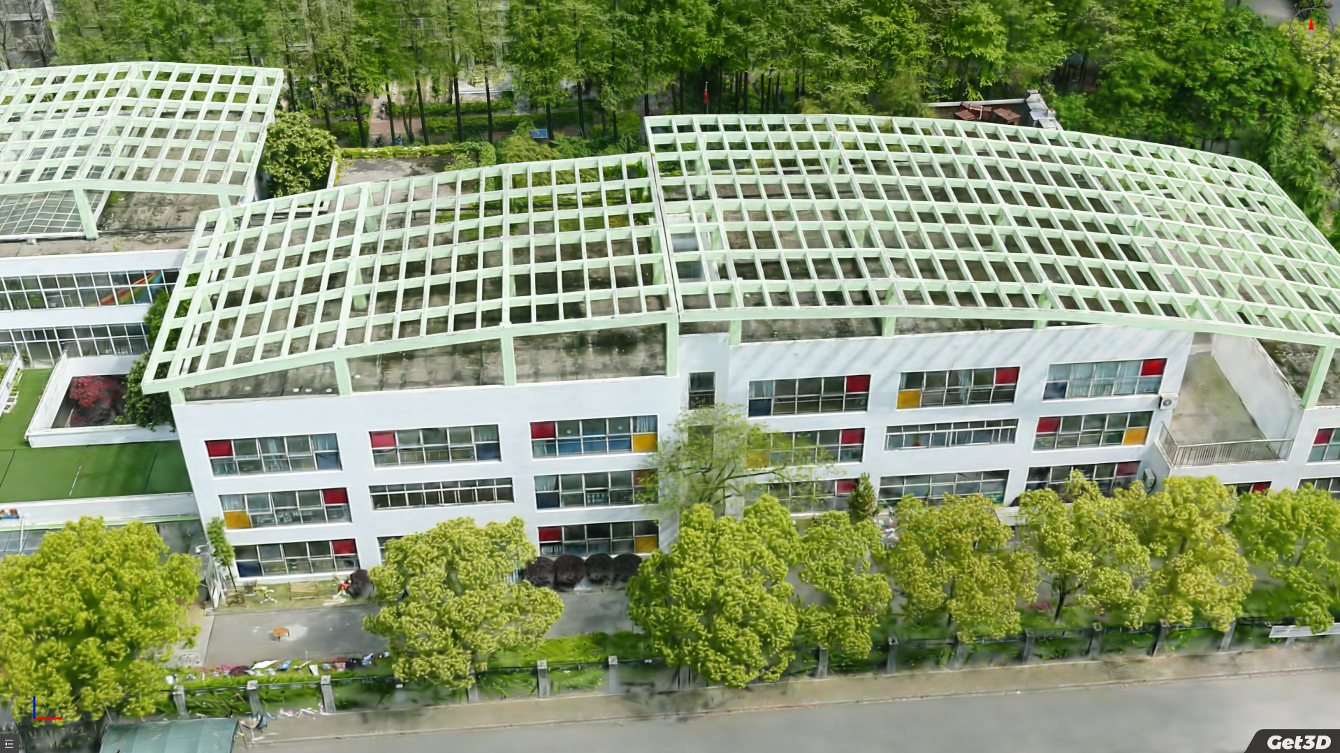
The fusion of nadir and oblique perspectives eliminates blind spots inherent in single-source capture.
2. Seamless Operation Enabled by Get3D Ecosystem
Streamlined and Standardized Workflow
Our integrated ecosystem connects every stage of the 3D reconstruction pipeline from data capture to processing and delivery. A unified workflow eliminates the friction of managing disparate tools.
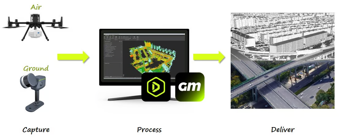
Smooth Software Operation Simplifies Fusion Workflow
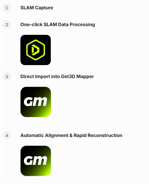
Automatic Point Cloud & Imagery Alignment for Consistent Coordinates
Unified spatial reference across aerial and ground data: no manual registration required.
- Aerial AT: Global Frame Established
- SLAM Processing: Local Detail Captured
- Automatic Alignment: Unified Coordinates
3. Diverse & Ready-to-Use Outputs
Stable Data to Reuse Over Time
Repeated surveys deliver consistent geometry and stable structural dimensions, supporting long-term digital asset maintenance.
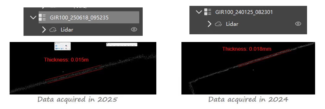
Measurement-Grade Accuracy and Geometry
- Accurate horizontal control ensures dependable spatial reference
- Clean right angles and parallel structures preserve real building geometry
- Suitable for engineering interpretation and spatial analysis
Stable Reconstruction in Complex Environments
- Continuous, Gap-Free Models: Robust point cloud registration maintains continuous, gap-free models across long distances and complex layouts
- Reliable in Challenging Environments: Handles large elevation differences, underground spaces, and complex terrain
- Efficient Single-Pass Acquisition: Efficient single-pass acquisition saves time and operational effort
Multiple Outputs
- Point cloud
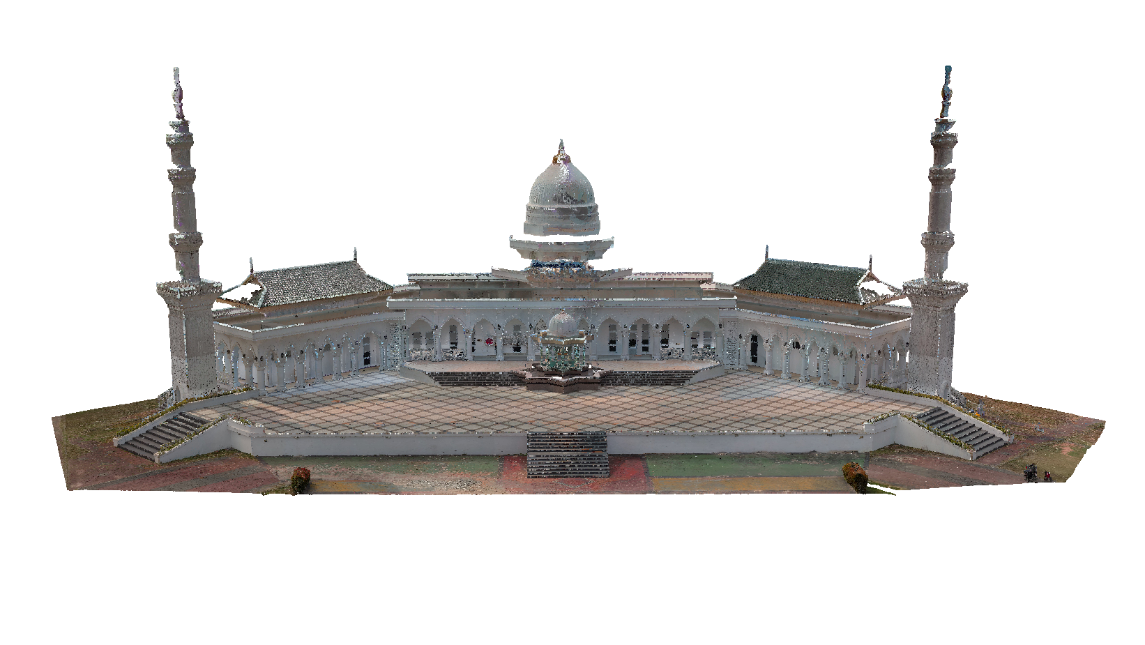
- 3D mesh model
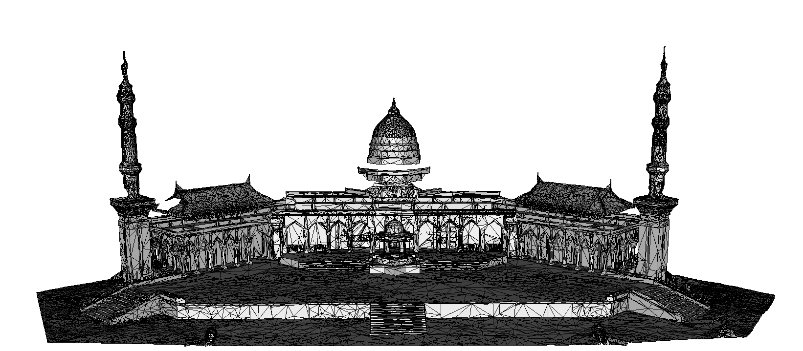
- 3DGS
Related Articles
- What is Air-Ground Fusion? — Overview and core principles
- How Does Get3D Power Air-Ground Fusion? — Hardware and software ecosystem
- Case Studies: Air-Ground Fusion — Advantages in practice
- What is 3D Model Lightweighting? — Handling the large output data
- What is 3D Gaussian Splatting? — 3DGS output format explained
- LOD Explained — LOD in real-time deployment of outputs
Source: Get3D Knowledge Center