Which Satellites Can Be Used for 3D Reconstruction?
Summary: Satellite 3D reconstruction quality depends heavily on which satellite provides the imagery. This guide covers eight satellite sources — from 0.3 m resolution commercial sensors to 2.1 m civil mapping constellations — that Get3D’s multi-source fusion pipeline can combine for optimal coverage, accuracy, and cost.
Who This Guide Is For: Geospatial data managers, procurement teams, and project planners who need to select the right satellite data sources for their 3D reconstruction projects.
Choosing the right satellite data source is the single most important decision in a satellite 3D reconstruction project. Resolution determines detail level. Revisit frequency determines how quickly you can get cloud-free imagery. Agility determines stereo collection quality. And cost varies by an order of magnitude between sources. Get3D’s multi-source fusion strategy does not rely on a single satellite — it combines data from up to eight sources, each selected for specific project requirements.
Satellite Source Reference
Beijing-3N
Operator: Twenty-First Century Aerospace Technology (21AT) / Beijing Space View
Country: China | Launch: 2022
Beijing-3N is a sub-meter agile Earth observation satellite offering 0.3 m panchromatic and 1.2 m multispectral resolution. Its high agility enables rapid tasking and multi-angle stereo collection in a single pass.
| Parameter | Value |
|---|---|
| Panchromatic resolution | 0.3 m |
| Multispectral resolution | 1.2 m |
| Swath width | 11.5 km |
| Altitude | 506 km |
GF-7 (Gaofen-7)
Operator: China National Space Administration (CNSA)
Country: China | Launch: November 3, 2019
GF-7 is China’s first civilian sub-meter stereo mapping satellite, specifically designed for 1:10,000-scale topographic production. Carries a laser altimeter for GCP-free ground control.
| Parameter | Value |
|---|---|
| Panchromatic resolution | 0.8 m |
| Multispectral resolution | 3.2 m |
| Stereo B/H ratio | ~0.84 |
| Swath width | 20 km |
WorldView-3
Operator: Maxar Technologies
Country: USA | Launch: August 13, 2014
WorldView-3 delivers some of the highest commercially available resolution imagery at 0.31 m panchromatic and 1.24 m multispectral (8-band). Also carries a 16-band SWIR sensor.
| Parameter | Value |
|---|---|
| Panchromatic resolution | 0.31 m |
| Multispectral resolution | 1.24 m (8-band) |
| SWIR resolution | 3.7 m (16-band) |
| Revisit time | ~1 day |
LuoJia 3-02
Operator: Wuhan University
Country: China | Launch: May 21, 2024
A research satellite verifying intelligent remote sensing technologies for communication, guidance, and remote sensing integration. Advances on-orbit AI processing and multi-mode data fusion.
| Parameter | Value |
|---|---|
| Panchromatic resolution | 0.5 m |
| Multispectral resolution | 2 m |
| Hyperspectral resolution | 10 m |
SuperView-2
Operator: Beijing Space View Technology
Country: China | Launch: July 3, 2020
A 0.5 m very-high-resolution (VHR) commercial constellation with rapid revisit capability. Multi-satellite coordination enables same-day tasking.
| Parameter | Value |
|---|---|
| Panchromatic resolution | 0.4 m |
| Multispectral resolution | 1.6 m |
| Revisit capability | Same-day (multi-satellite) |
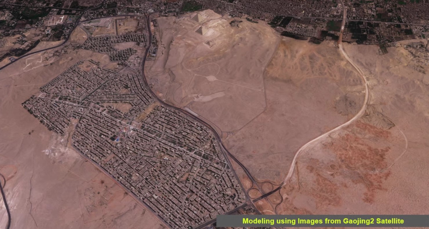
Jilin-1
Operator: Chang Guang Satellite Technology (CGST)
Country: China | Launch: October 7, 2015
China’s largest commercial remote sensing constellation with over 100 satellites. Enables global revisit frequencies under 10 minutes over priority areas.
| Parameter | Value |
|---|---|
| Panchromatic resolution | 0.72 m |
| Constellation size | 100+ satellites |
| Swath width | ≥11.6 km |
ZY-3 (Resources Satellite-3)
Operator: China Centre for Resources Satellite Data and Application (CRESDA)
Country: China | Launch (ZY-3 01): January 9, 2012
China’s primary civil high-resolution stereo mapping satellite series. Three-line-array stereo system enables automated 1:50,000 topographic map production.
| Parameter | Value |
|---|---|
| Nadir panchromatic | 2.1 m |
| Forward/backward stereo | 3.5 m |
| Swath width | 51 km |
Summary: Satellite Fleet at a Glance
| Satellite | Operator | Resolution (PAN) | Key Strength |
|---|---|---|---|
| Beijing-3N | 21AT / China | 0.3 m | Agile tasking, stereo |
| GF-7 | CNSA / China | 0.8 m | Mapping accuracy, laser altimeter |
| WorldView-3 | Maxar / USA | 0.31 m | Highest commercial resolution, SWIR |
| Mapping Satellite-1 | PLA / China | 2 m | Historical baseline terrain |
| LuoJia 3-02 | Wuhan Univ. / China | 0.5 m | AI integration, on-orbit intelligence |
| SuperView-2 | SpaceView / China | 0.4 m | Rapid domestic VHR tasking |
| Jilin-1 | CGST / China | 0.72 m | High-frequency revisit, large coverage |
| ZY-3 | CRESDA / China | 2.1 m | Stereo archive, long-term baseline |
Get3D’s multi-source strategy is not about picking the “best” single satellite — it is about combining the right data for each project’s accuracy targets, area size, timing requirements, and regulatory constraints.
Related Articles
- Get3D Mapper-SAT — A platform for satellite data processing
- Satellite vs Drone vs Aerial — A comparative analysis of satellites and other platforms
- What Is Satellite 3D Reconstruction? — Technical Principles
Source: Get3D Knowledge Center